Worcestershire’s Farmsteads and Landscapes
- 11th September 2017
Traditional farmsteads and their buildings contribute to local distinctiveness and the varied character of our countryside by reflecting local geology, building traditions and farming practices. The future of the majority of historic farm buildings is increasingly dependent on a new role outside mainstream agricultural use. Since 2009 Worcestershire County Council has been involved with a series of projects aimed at enhancing understanding of farmstead character and survival within Worcestershire, and the wider West Midlands region, and developing conservation guidance that can be used to inform the sustainable development or re-development of historic farmsteads and their landscapes. For more information: www.worcestershire.gov.uk/archaeology/farmsteadsguidance
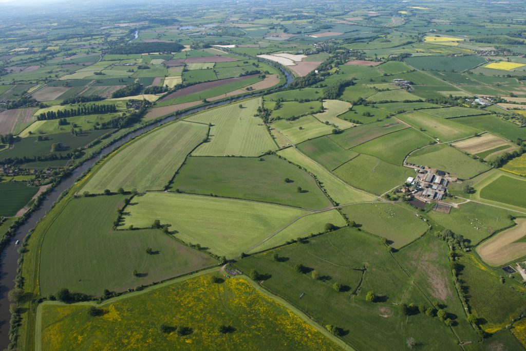
A large scale, isolated farmstead, east of the River Severn. Less than 50% of traditional buildings remain extant, mirroring the loss of field boundaries which has also characterised the surrounding landscape over the 20th century. Photo © English Heritage NMR 27698/033
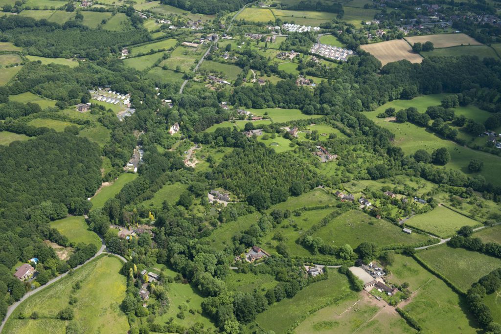
Small-scale farmsteads and smallholdings, associated with the development of rural industries from the 17th century and fruit growing, which boomed during the 19th century, in Buckridge, Wyre Forest. Photo © English Heritage NMR 27765/001
A new recording and research group has recently been established in Worcestershire with the aim of taking this forward at a more in-depth level. Initially focussing on south-east Worcestershire, the project is volunteer-driven with individuals carrying out building recording, photography and historical research http://worcsfarmsteadsproject.org.uk. The resulting information will be added to the Historic Environment Record and be available for others to view. If you would like to volunteer for this exciting new venture please contact the Worcestershire Farmsteads group on worcs.farmsteads@gmail.com or speak to a member of the Archive and Archaeology team.

A small, isolated field barn, for grazing stock (historically cattle), dating to approximately 1830, at Pound Green Common in Upper Arley (c) WCC & One of a number of outfarms north of Kemerton, incorporating a threshing barn, animal housing and a yard for the collection of manure © English Heritage NMR 27767_010
As part of our Worcestershire Treasures series Emily selected Field Barns and Outfarms as her choice of treasure, which you can read about.

Post a Comment