Archaeology 50: Historic Environment Record (or Sites and Monument Record)
- 16th June 2020
Last summer we gave an overview of 50 years of digging. Excavation is one of the main aspects of archaeology which people think about, and we’ve done plenty of that here over the past half century. Another important part is the Historic Environment Record (or HER), previously called Sites & Monument Record, which we have been managing and updating for over 50 years.
What is the HER?
The HER database is the County of Worcestershire’s primary resource for archaeological and historic environment information. Each county or unitary authority has one. We hold approximately 83,000 records including archaeological sites, historic buildings, monuments, and landscape features. The HER can help you to research:
- Your area, whether that’s a village, a particular building, or parish
- A period of interest, including Roman, Medieval, and World War II
- Industries such as lime kilns, carpet factories, and needle manufacturing
- Historic artefacts, such as coins, pottery, plant, and animal remains
Worcestershire HER covers the modern county of Worcestershire, except the City of Worcester. The City holds its own HER, but the two share a joint software platform.
Who uses the HER?
- It is used by our own planning archaeologists when they are reviewing planning applications to see if archaeology or historic buildings may be affected, discovered or uncovered.
- Individuals carrying out research or just wanting to find out about their house or neighbourhood.
- Education sector – university students and academics make use of the HER for their research and assignments from wherever they are in the world.
- Archaeologists prior to a dig to help them understand what they might find, and sometimes where to dig to avoid archaeology.
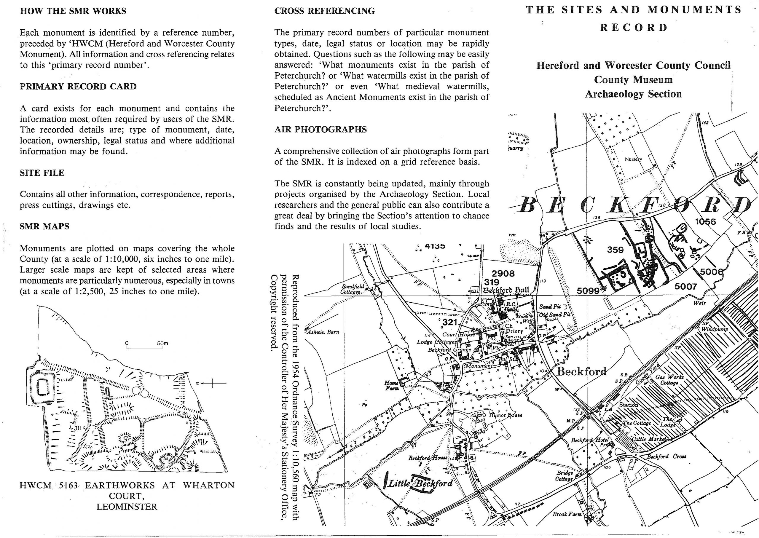
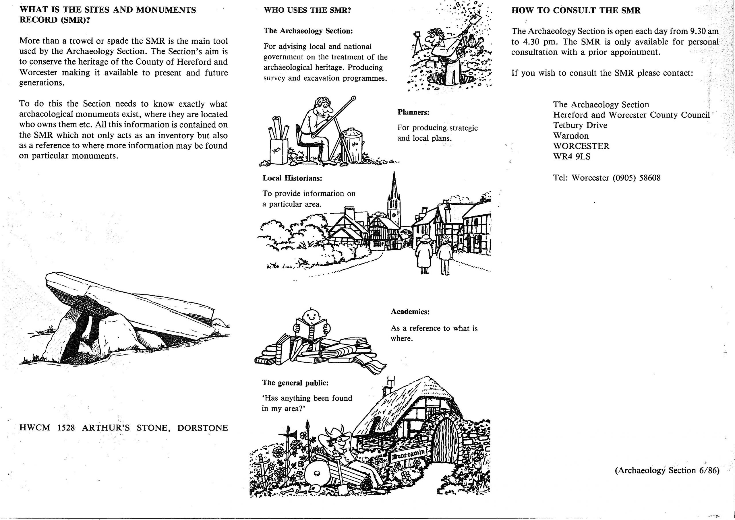
Leaflet about the Sites & Monuments Record from 1986
Development
The HER has its origins in the late 1960s, when it was known as the Sites and Monuments Record (SMR). Some of the information which began to go onto the database had been gathered by the Ordnance Survey’s archaeology department. In the 1920s OGS Crawford, their Archaeology Officer, tried to validate archaeological information which was put onto maps. Local correspondents sent him information and updates. In 1946 this was developed into a site-based card index linked to annotated maps, which they continued to develop. As County Archaeologists began to be appointed they set up databases which became SMRs and used the OS records as their basis.
When James Bond was appointed in 1969 we know he contacted OS to access their information, and bought record cards from the Council for British Archaeology. Coming from Oxfordshire he copied their system, although as he was on his own for the first few years he was limited in what he could do.
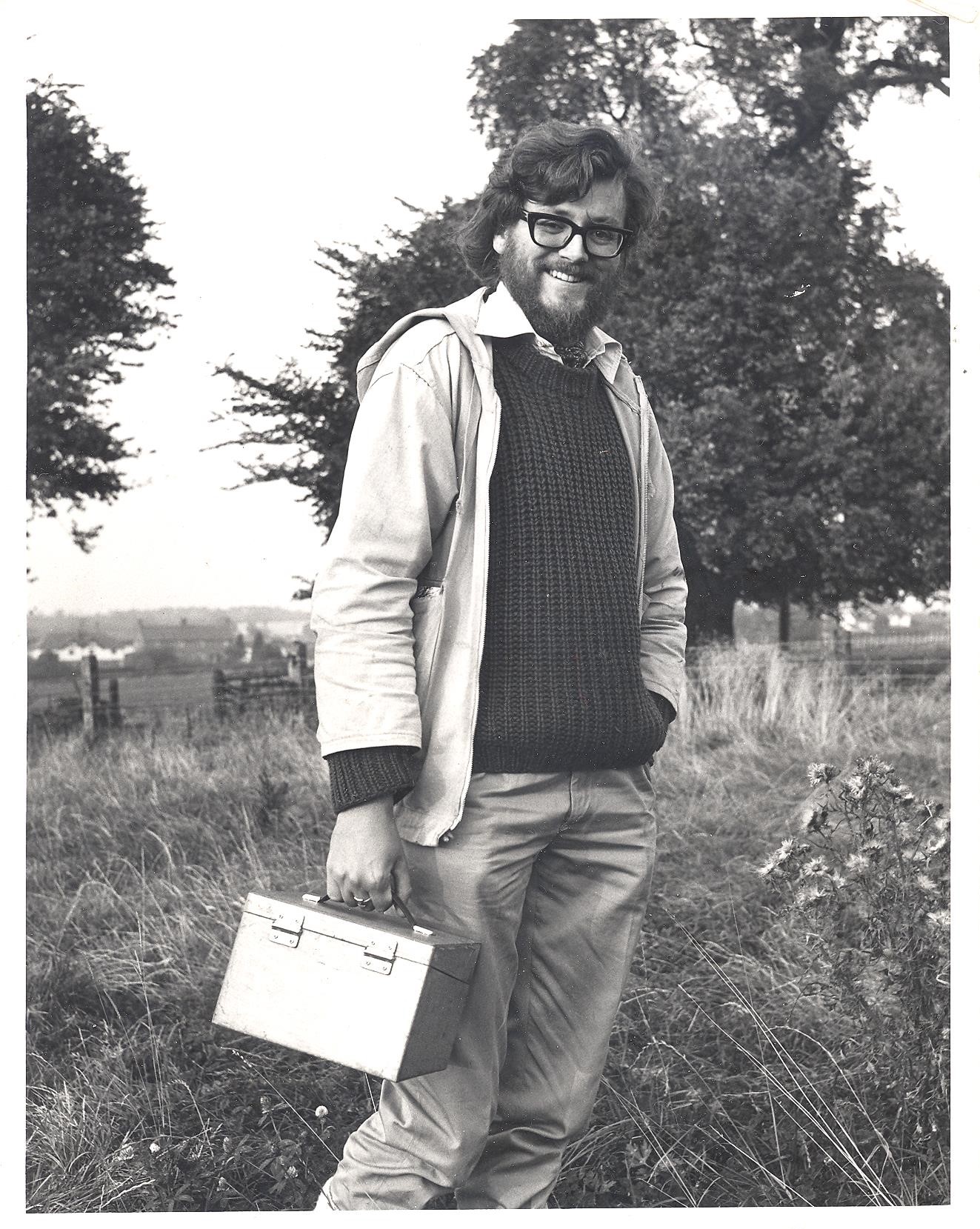
James Bond, our first County Archaeologist
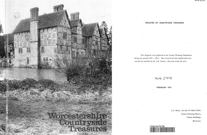
Prior to James’ appointment a brief overview of Worcestershire’s known archaeology was written up, which was a baseline to work from. Looking back, it was rather brief and our understanding has advanced enormously, but at least it was a starting point. After this Worcestershire Countryside Treasures was produced by the planning department 1970-73. It wasn’t a county guidebook but, “the register is to record and bring to the notice of public, and voluntary bodies and associations, industry and the general public those sites in Worcestershire which are of special interest – including many of the less conspicuous and often ‘unknown’ features, some of which have never been recorded and, ‘indeed,’ still await thorough investigation and excavation and may be lost for ever if they are not publicised.” The focus was the countryside (towns would be looked at later), and they recognised that limit of space and time meant it was incomplete, but all listed buildings and scheduled ancient monuments were included, along with map co-ordinates. Early aerial archaeology meant that some potential sites were included which could only be seen under certain conditions.
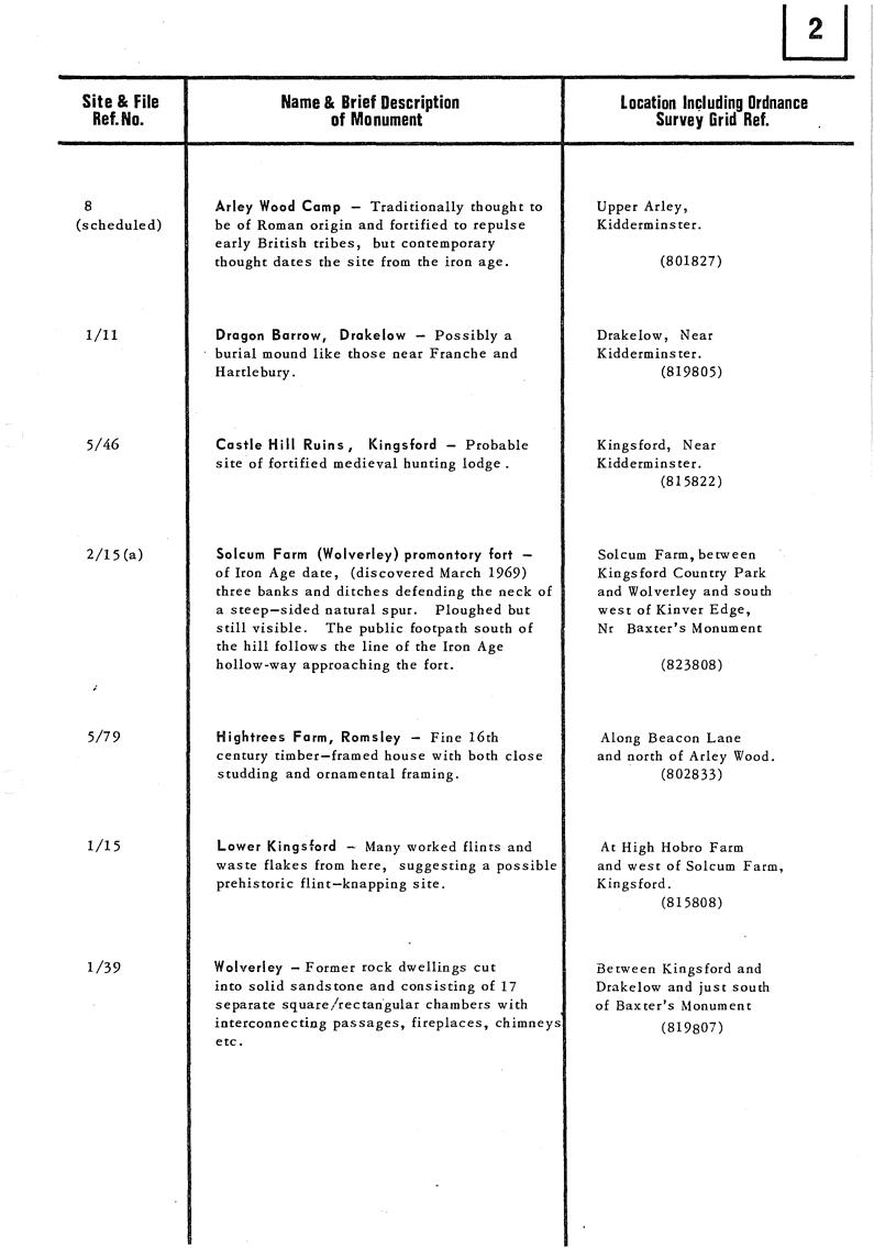
Pages for Kidderminster area in Worcestershire Countryside Treasures
The SMR slowly developed over the years. Jan Roberts put a lot of time into developing it during his time as County Archaeologist. It was still on physical index cards, and optical coincidence card information retrieval system (a version of punch cards where you put knitting needles through holes in the card depending on the topic you want to retrieve!).
Early computing for the SMR
The HER reflects the research of the time. In the 1980s it was large towns or Saxon origins. In the 1990s there an opportunity to develop our knowledge of other towns in The Marches, Herefordshire and Shropshire as well as Worcestershire. We had limited knowledge of the urban areas, which made it hard for research in towns, or knowing how development would be affect archaeology and historic buildings. Hal Dalwood and Victoria Bryant worked on this English Heritage funded project, covering 63 towns which greatly increased the knowledge of those areas.
More recently 19th and 20th century archaeology and buildings were included. A lot of Second World War sites were added as a result of the Defence of Britain project, which looked at recording surviving sites. It was a national project, and we ran the Worcestershire part. A fantastic group of volunteers put in a huge amount of effort which meant that we were one of the best recorded counties.
With the introduction of Developer funded archaeology in 1990 the HER became a key tool in the planning process and the database was increasingly used. Good data was needed to enable decisions to be made about when archaeological excavation was needed. If good quality information went in then good quality information would come out, and archaeology would be better understood and protected.
Over the years numerous projects have been run which has added a huge amount of information to the HER, some of these helped by volunteers or local groups. Defence of Britain, as mentioned, was one example, and some volunteers are still with us 20 years later. We also worked with local groups on the Tithe Map project, helping them apply for funding which allowed the digitisation of their local tithe map. Some of these have been funded by Historic England and other national bodies, due to our reputation.
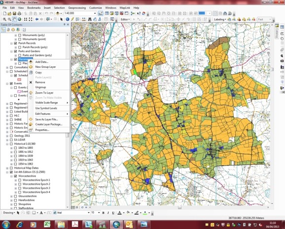
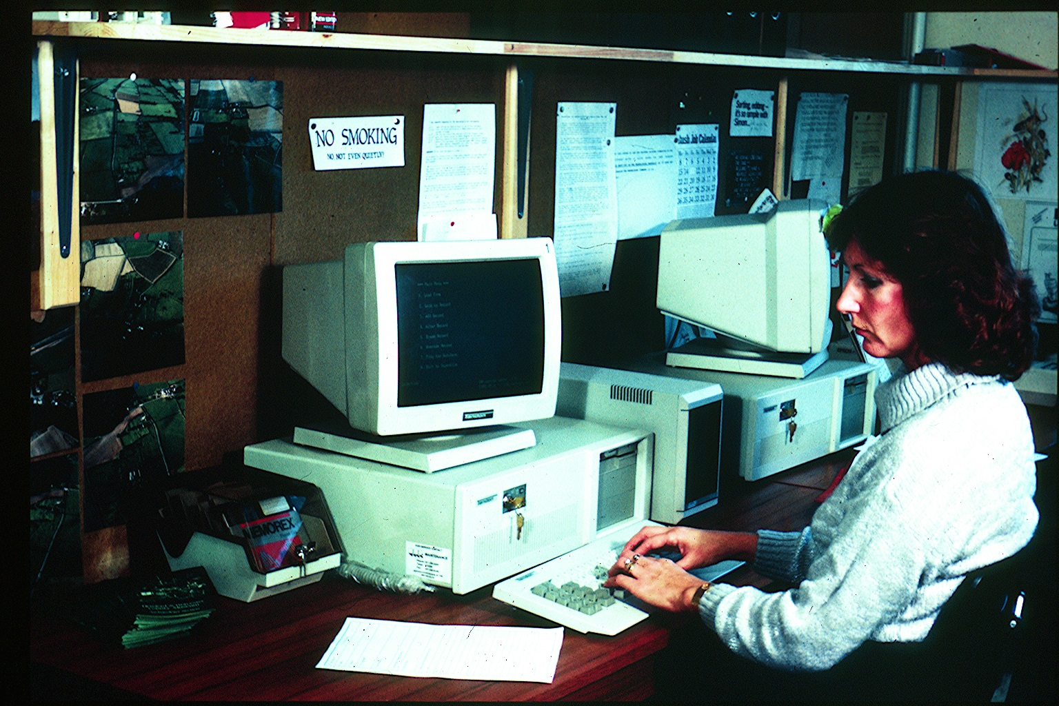
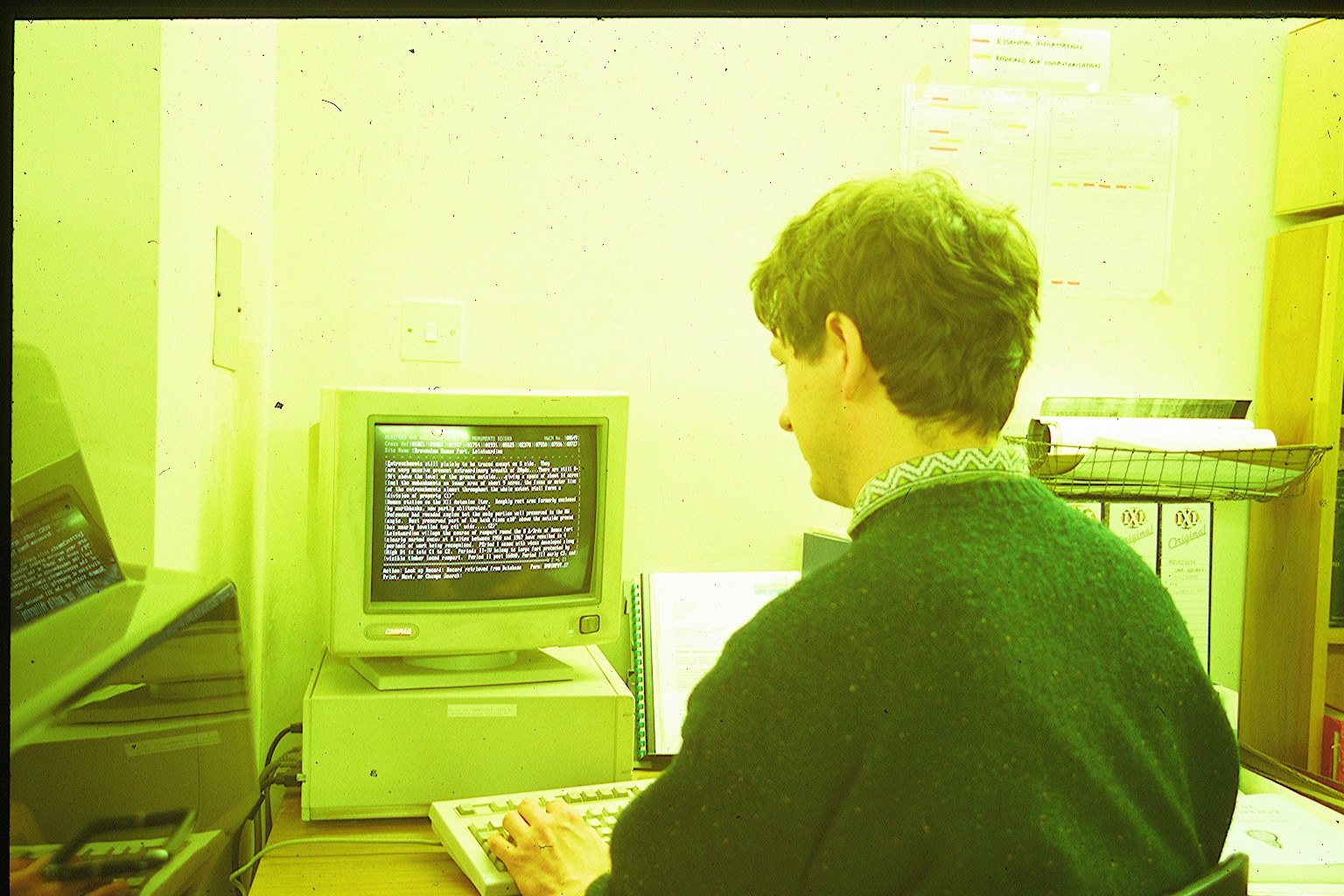
In 1999 the HER became GIS (Geographical Information System) based, which meant that the database was linked to interactive maps, so that you could click on a point to bring up more information. At first the old SMR consisted of cards which linked to annotated maps, then the punch cards, before being replaced by a computer database. Digitisation revolutionised the HER as a wide variety of information could be interrogated and then viewed visually. For instance, with some of the historic maps not only do we have the map but we can link details to particular plots of lands such as who owned it, when, who rented it, name, use and size.
Then in the early 2000s another big change was going from using points on a map to polygons (shapes) which meant that areas of significance could be plotted onto maps, rather than just having a specific point. Landscape now became a major part of the HER and we carried out several projects, some funded by Historic England, looking at aspects such as farmsteads. The late 2000s saw the development of Historic Landscape Characterisation. The landscape was look at as a whole, as an inherited landscape with depth using field patterns and other indicators, and analysing this.
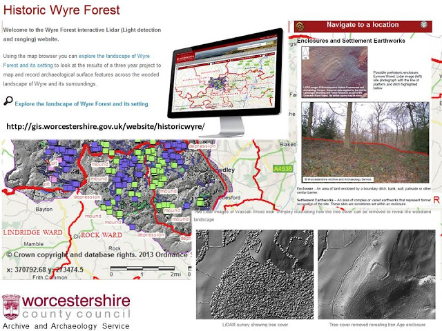
A volunteer project which looked at the landscape was Grow With Wyre, looking at the Wyre Forest. For one strand of the project cutting edge technology and new sources (LiDAR – aerial surveying using laser technology, where trees can be digitally removed) was combined with traditional mapping and volunteers going out and checking potential archaeological features on the ground, walking the tracks in some cases. 36km2 was surveyed in two years. Lots of data was then added to the HER, which hadn’t been recognised before LiDAR came along, and although they were discrete features the HER could bring them together to look at how they relate and bring a new dimension to our understanding of the area.
A big change for the service came in 2012 with the move to The Hive. Instead of being accessed in a building in a corner of the University site it was now in new library and history centre, near to the other public resources, so even if they were unaware of what a Historic Environment Record was colleagues could direct people to them when it was thought it could help. There was a 400% increase in visitors to the HER over that year, with people able to go along, sit next to an archaeologist and ask their questions here.
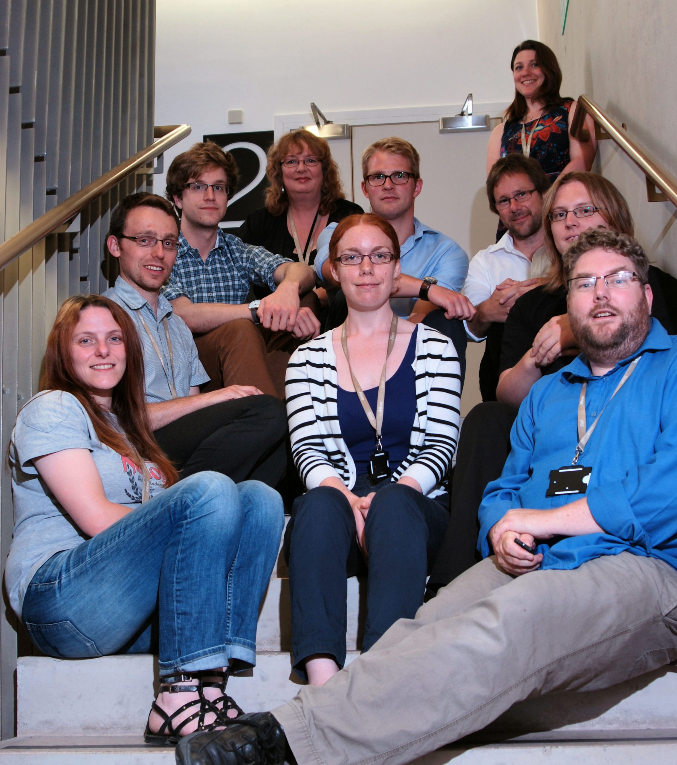
HER team in the early days of The Hive
HER desk in the old public office
Sadly today we have had to reduce the time we can staff the desk, and it is now open Tuesdays and Thursdays 10:30am-1:30pm, although people can also make enquiries online if they can’t get in. Personal enquiries are free, although commercial enquiries are charged for. A basic version an be searched at home on Heritage Gateway.
The HER of today is a world away from the card index system created by James Bond. The technology has changed beyond recognition, allowing all sorts of information to be obtained, understood and shared. The amount of records is also phenomenal, with over 80,000 now on the database. At the heart though is a database containing what we know about the county’s archaeological past, available for archaeologists, planners, academics, local groups and individuals to use.
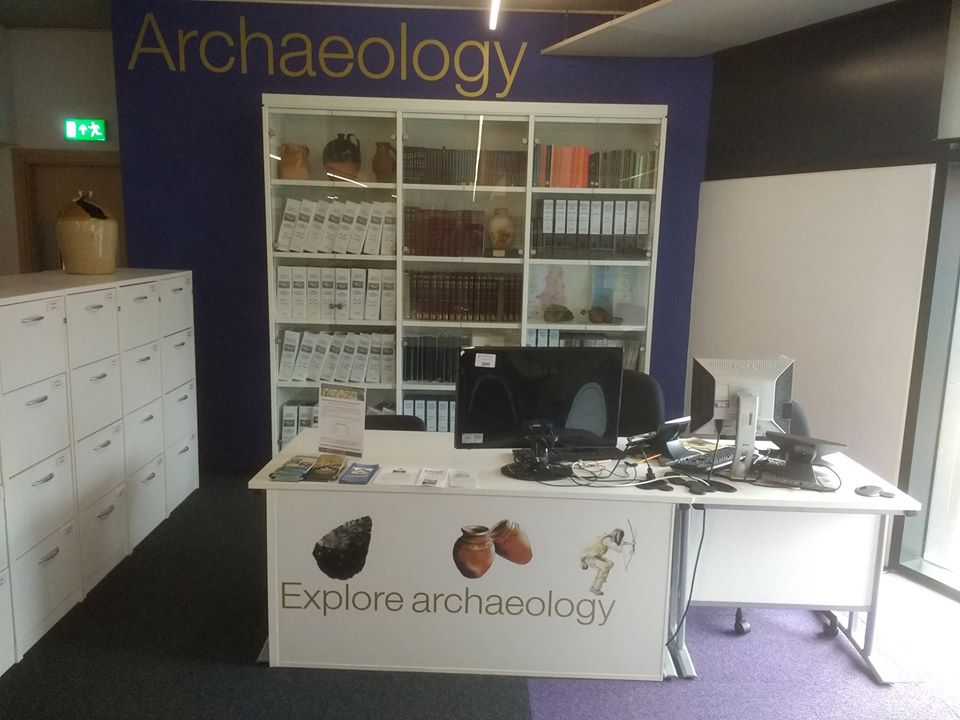
Current HER desk
 - Worcestershire Archive & Archaeology Service)
Post a Comment